River and Stream
Rivers and Streams Stage/Flow
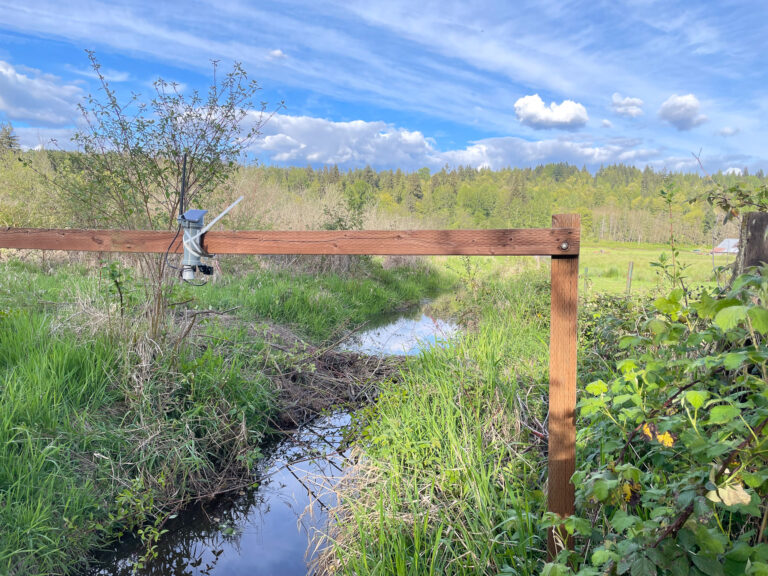
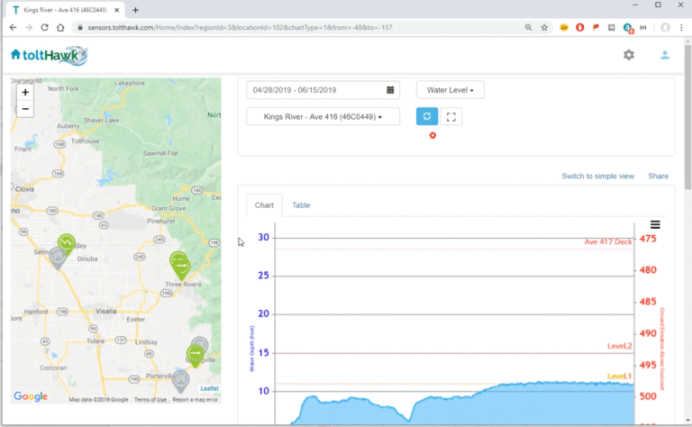
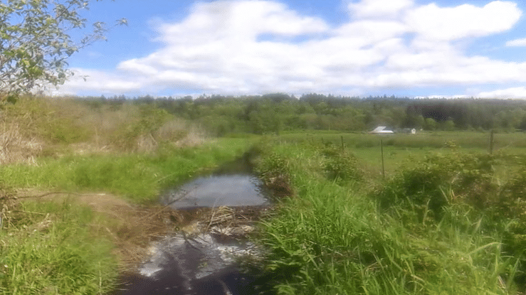
ToltHawk devices measure water level and other data in rivers and streams, then wirelessly sends that data to the cloud. This data can then be viewed on the phone or desktop computer. You can set threshold alerts to warn you against flooding or underflow. This data can be further enriched with a live picture and environmental properties like temperature and precipitation.
(See how Kittitas County, WA is using ToltHawk to monitor remote streams)Camera
A picture is worth a 1000 words and ToltHawk sensors now include an optional camera module, capable of sending live pictures and/or videos of the target area. Note: the wireless transmittal of images is only offered in the cellular version of our product. The satellite units can only record pictures and videos for onsite retrieval later.
Trends and Predictions
Over time, as the data history accumulates, our cloud service improves at identifying trends and becomes better at prediction of events such as flooding and seasonal levels. In addition, it uses weather data from NOAA, and river data from nearby USGS gauges to establish trends.
Modeling
ToltHawk integrates with modeling tools such as Hec-Ras. This makes modeling easy. The rendered graphical data can then be uploaded into ToltHawk for allow anyone in your organization to graphically view events such as flooding and seasonal water levels.
Snow, Rain, Soil-Moisture, Ground Water Level Sensors
Using external, optional sensors, ToltHawk units can measure a variety of properties associated with your basin. These external sensors can sense:
- Snow
- Soil-Moisture
- Ground Water
- Temperature