Continuous data, zero maintenance headaches.
ToltHawk devices measure water level and other data in rivers and streams, then wirelessly send that data to the cloud — viewable on phone or desktop. Set threshold alerts to warn against flooding or underflow.
What sets ToltHawk apart.
Data can be enriched with a live picture and environmental properties like temperature and precipitation. Over time, as data history accumulates, the cloud service improves at identifying trends and becomes better at predicting events such as flooding and seasonal levels.
What you can expect.
Optional Camera Module
Cellular units can include a camera capable of sending live pictures and videos of the target area. Satellite units can record onsite for later retrieval.
External Sensor Compatibility
Connect additional sensors to track temperature, precipitation, conductivity, turbidity, and more.
Trend Prediction
Historical data feeds prediction models for flooding events and seasonal water levels.
Public or Private Data
Owner admin decides who sees the hydrograph — public locations are viewable without sign-in.
From install to insight.
Install in river or stream. Device measures water level and transmits readings every 15 minutes. Historical data and alerts available via phone app or web dashboard.
Other environments.
Flood Monitoring
Floods move fast. So should your alerts. Get real-time data and notifications when water levels threaten infrastructure.
Learn more
Snow Monitoring
Track snow buildup before it causes a breakdown. Monitor snowpack depth to anticipate melt and runoff.
Learn more
Road Hazard
Spot water hazards on roadways before they put drivers at risk. Critical data for DOT and public works teams.
Learn more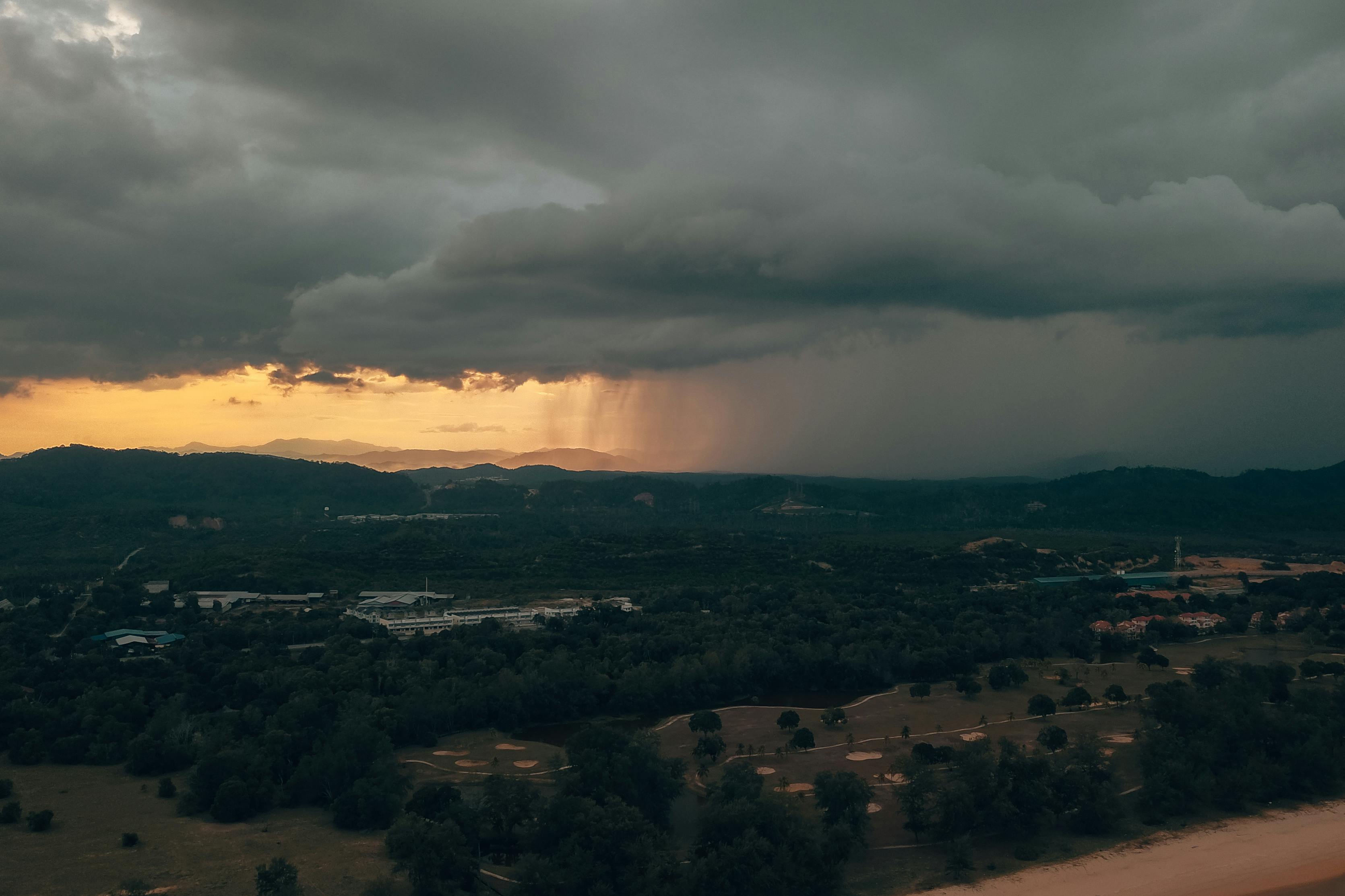
Stormwater
Monitor stormwater systems in real time. Track detention basins, outfalls, and drainage infrastructure.
Learn more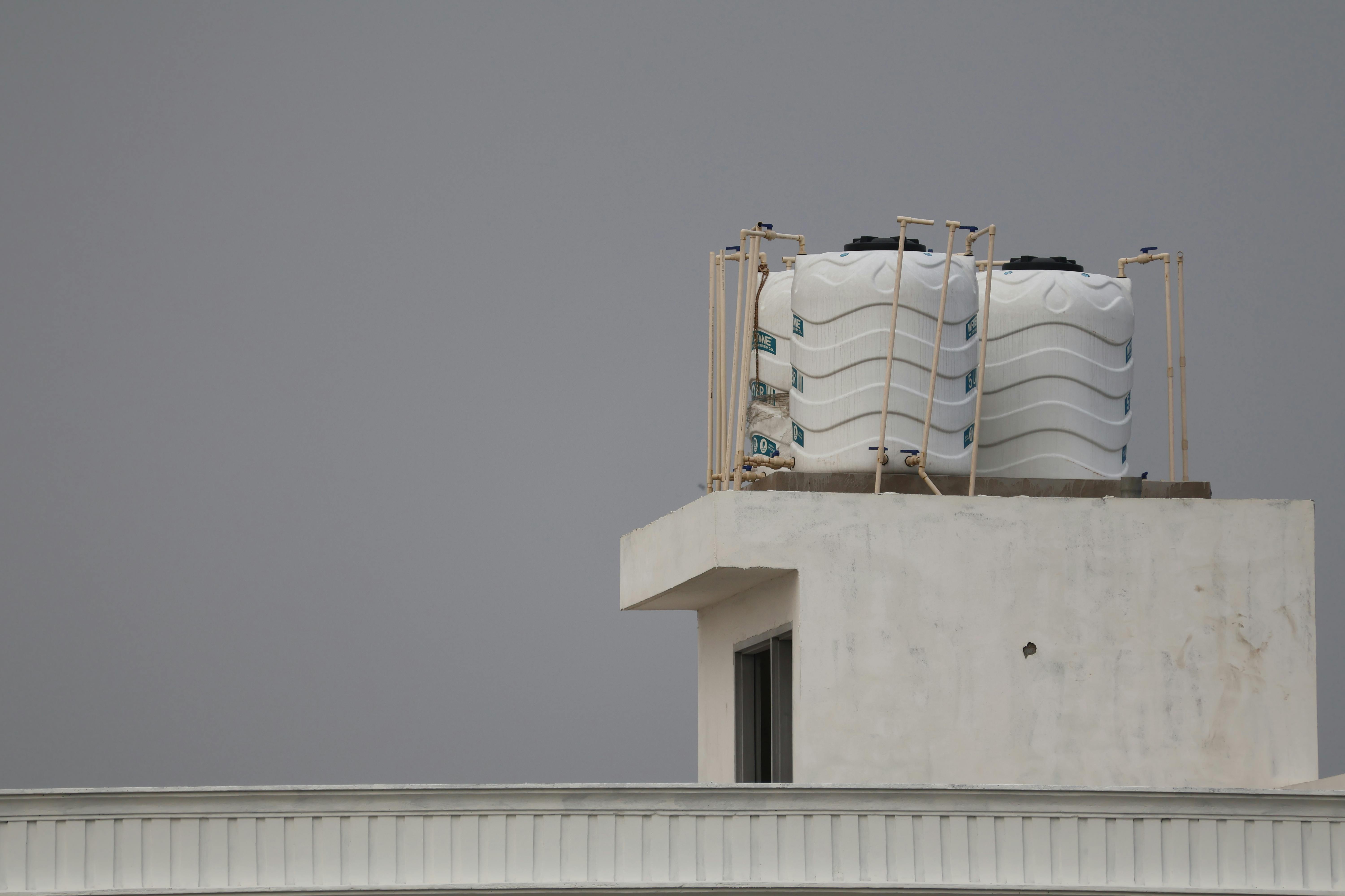
Storage Tanks
Track water tank levels with instant leak alerts. Prevent overflows and ensure supply reliability.
Learn more
Ready to Monitor
What Matters?
Get a personalized demo and see how ToltHawk sensors can protect your community.