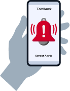
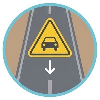
From early flood detection to water-level and streamflow monitoring, our technology provides precise, real-time data when it matters most. With dependable insights and user-friendly systems, ToltHawk enables better planning, faster emergency response, and greater climate resilience.
There has been some error while submitting the form. Please verify all form fields again.
Want to contact our team and book a Demo? Try it now
Testimonials
The sensors have been a great tool for us. They really give us insight on what is happening during storm events at key locations without us having to physically be there. They provide a piece of mind that alleviates some of the stress of winter.
Ryan Montes (Customer since Oct 2021)San Rafael Department of Public Works
Our 16 ToltHawk sensors paid for themselves the first month we installed them in the field. We normally send a crew to a remote bridge to remove the railings as a precautionary measure during flooding. This normally costs us sending a crew of 4 and two round trips to the remote location. With ToltHawk, we accurately found out that the water level started to recede which the naked eye couldn’t detect and therefore avoided that expense.
Ross Miller (Customer since 2019)Director, Tulare County, RMS
Our three devices are working great and sending water tank levels. We had a leak last week and we received an alert on weekend. Allowed us to act quickly! Normally we would find out about the problem when an irate customer calls.
Steve Marshall BTTB, Luthersburg, PA
Tolthawk works as advertised and provides a good bang for your buck. We’ve installed them for numerous clients that want a low-cost, near real-time water level monitoring system. They’ve been working reliably for a few years now. Tolthawk’s tech support is very friendly and quick to respond to any issues. I would recommend their product to others looking for efficient monitoring equipment.
Consultant (anonymous)Director of (anonymous”
Who uses ToltHawk?
County of Tulare, CA
University of Washington
US Forest Service
Auglaize County, OH
City of San Rafael
Madera County
City of La Center, LA
Clark County, WA
Douglas County, NV
DNR Washington State
NOAA
Hancock County, MS
Hawaii DOT
Hudson Lake Conservation District
City of Berkeley, CA
BLD Services, Louisiana
New York Power Authority
Auglaize County
Forrest County, MS
St Joseph River Basin Commission
St Clair Conservation District
Snohomish County, WA
Riley County, KS
Kankakee River Basin
County of Chelan, WA
County of Denton, TX
City of Duvall
Jones County, MS
Kankakee River Basin
Kittitas County, WA
Ballard County
Mason County, WA
Merced County
Maxwell Irrigation District, CA
Maumee River Basin Commission
Frequently Asked Questions
How to install?
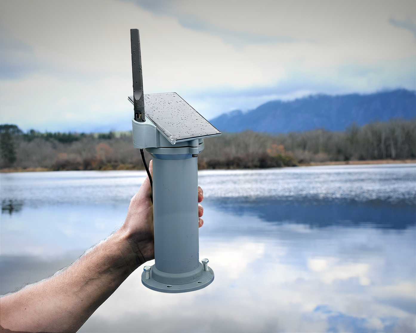
ToltHawk sensors are self contained units and are therefore easy to install. Typical installation is over bridges or cantilever. See ToltHawk Installation Gallery for example installations
Do I need to sign in to view data?
As the owner admin, you can decide who can view the data. If you make the location public, anyone can view the hydrograph without signing in. If you mark the location private then only users who you allow will be able to view the data..
What is the range of sensor?
The range of our sensors is between 15cm (0.5′) to 20m (65′).
Do you have an API to integrate with my existing systems?
Yes, we have a JSON API that allows you to integrate with your own system or website.
Can I download my data?
As the owner of the gauge, you can download the data in any of these formats: Excel, CSV, PDF
How long do you keep the data?
Our normal data retention policy is 10 years.
After installation, is calibration required?
Our device do not require calibration after you install it. However, its a good practice to verify the data and communication before you leave the location.
Should I setup the device before leaving the installation site?
The device automatically starts sending data when placed vertically at the installation site. All settings can then be done from your desk via a web browser. There’s no specific configuration required at the installation site.
Who can install these sensors?
Our sensor devices are easy to install and most organizations chose to install it themselves. Before installation, please read our user manual for installation suggestions and examples. Also, please check local laws for any permits requirements, and restrictions to install in public right-of-ways.
Can I change units to metric?
Yes. Units are individual preferences and you can change it under your profile.
What is the angle of beam of the radar sensor?
The radar sensor has a narrow 3°-7° angle and therefore allowing sensing area to be pin pointed.
Who can access the data?
If the owner of the location, designates that location as Public in their dashboard, anyone, signed-in or not, can view the data of that location. If you want to restrict access to the location data, you must give them permission via your settings dashboards. In that case, the user 1) must create an account and 2) owner must give them permission via settings dashboard.
How often is website updated?
Our normal measurement frequency is 15 minutes, which matches USGS’s standard. However this can be changed by the owner of the gauge (you) via website. Measurement frequency of less than 5 minutes can be drain on the device’s battery. The measured data is then stored in the device’s memory until the next Update Cycle at which point all the stored data is uploaded into the cloud for you to view. The Update Cycle can be 15minutes to 3hours depending on your configuration.
Manage Consent
To provide the best experiences, we use technologies like cookies to store and/or access device information. Consenting to these technologies will allow us to process data such as browsing behavior or unique IDs on this site. Not consenting or withdrawing consent, may adversely affect certain features and functions.
Functional
Always active
The technical storage or access is strictly necessary for the legitimate purpose of enabling the use of a specific service explicitly requested by the subscriber or user, or for the sole purpose of carrying out the transmission of a communication over an electronic communications network.
Preferences
The technical storage or access is necessary for the legitimate purpose of storing preferences that are not requested by the subscriber or user.
Statistics
The technical storage or access that is used exclusively for statistical purposes.The technical storage or access that is used exclusively for anonymous statistical purposes. Without a subpoena, voluntary compliance on the part of your Internet Service Provider, or additional records from a third party, information stored or retrieved for this purpose alone cannot usually be used to identify you.
Marketing
The technical storage or access is required to create user profiles to send advertising, or to track the user on a website or across several websites for similar marketing purposes.